Wikimedia Commons · Free licences
Photo credits who took each photograph
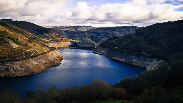
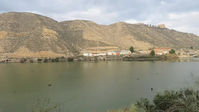
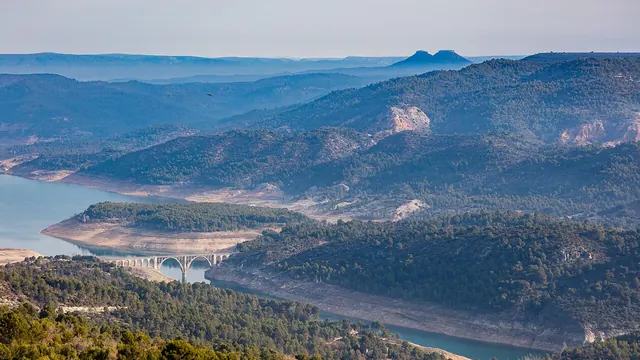
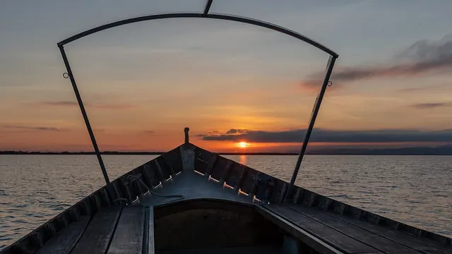
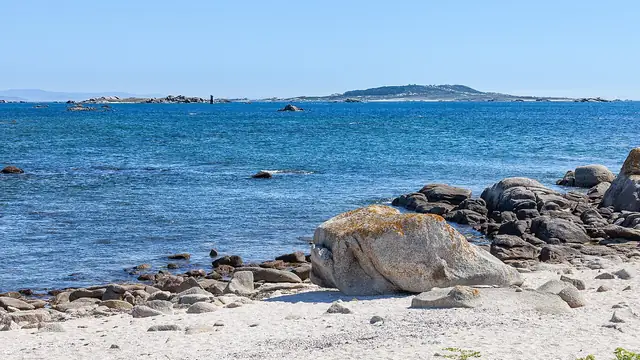
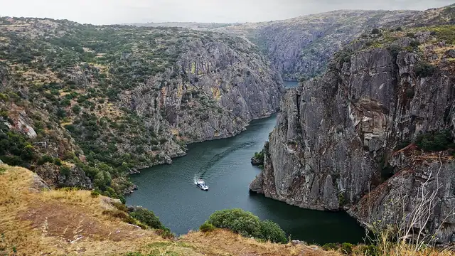
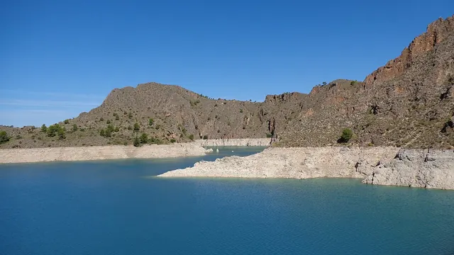
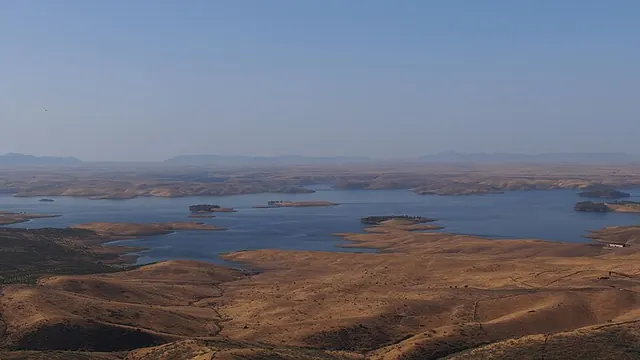
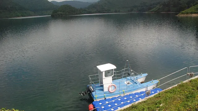
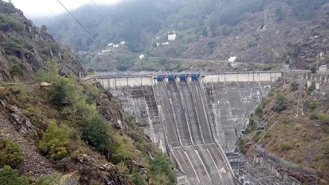
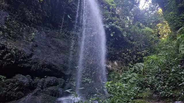
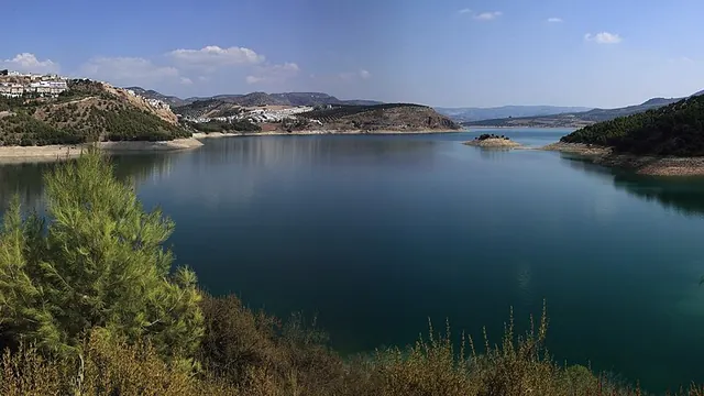
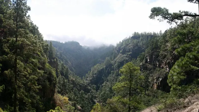
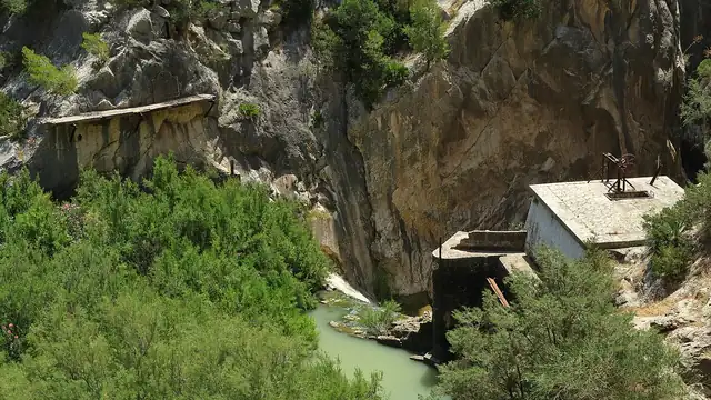
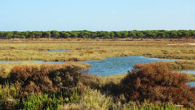
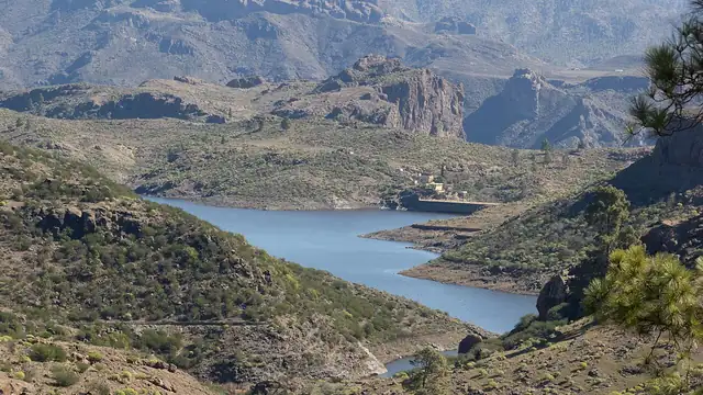
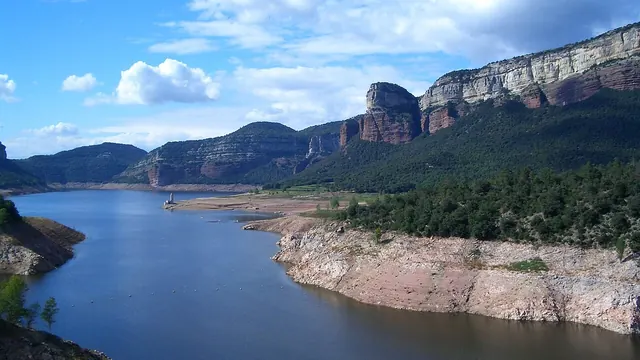
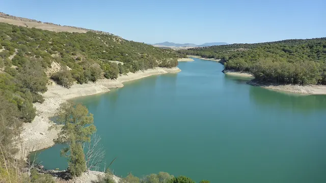
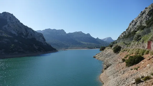
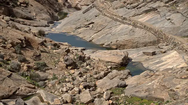
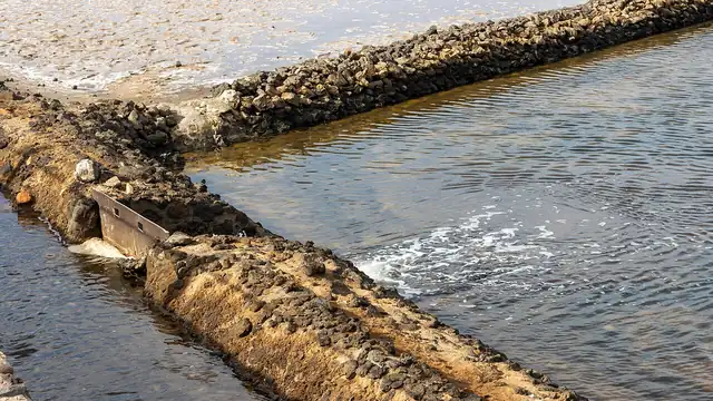
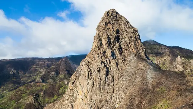
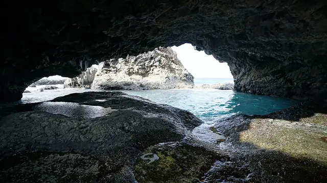
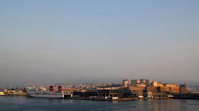
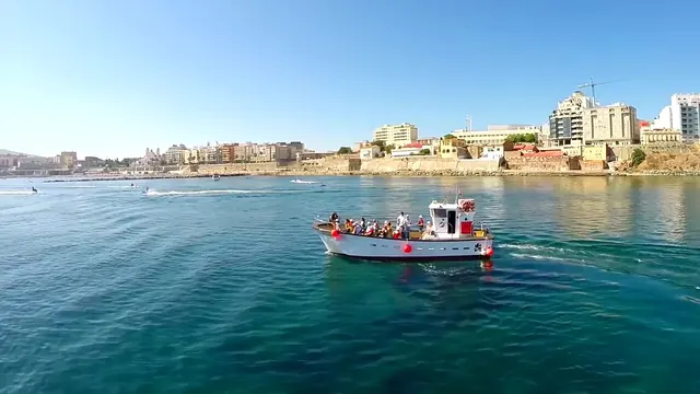
The coverage map shows a real photograph of each river basin district. All of them come from Wikimedia Commons under a free licence. Below are the author, licence and link to the original for each one, as the CC BY and CC BY-SA licences require.
Until July 2026 these images were AI-generated illustrations. They were replaced with real photographs so that what illustrates the map is verifiable rather than synthetic.